
Cabo de Gata · Los Escullos
Loma Pelada trail: Los Escullos – Cala Higuera
- Distance
- 11.6 km
- Elevation gain
- +202 m
- Approx. time
- ~3 h 30 min
- Difficulty
- Easy
- Route type
- Out and back
Today's forecast
Walking
Easy and moderate walks along the coast and in the hills of Almería. Coastal walks show today's forecast for the nearest beach, so you know what the sea will be like when you get there.
Each walk links to its Wikiloc page, written by the person who recorded it. Check the path before you set off, carry water and avoid the hottest hours.
They end at or pass a beach, with that beach's forecast for today.
Cabo de Gata · Los Escullos
Today's forecast

Cabo de Gata · San José
Today's forecast
Cabo de Gata · Presillas Bajas
Today's forecast

Cabo de Gata · La Isleta del Moro
Today's forecast

Cabo de Gata · Las Negras

Cabo de Gata · Rodalquilar
Today's forecast

Cabo de Gata · Agua Amarga
Today's forecast

Levante · Mojácar
Today's forecast

Poniente · Aguadulce
Today's forecast
Poniente · Aguadulce
Old page: check the recent comments before you go.
Inland Almería and Sierra Nevada. There is no beach forecast here.
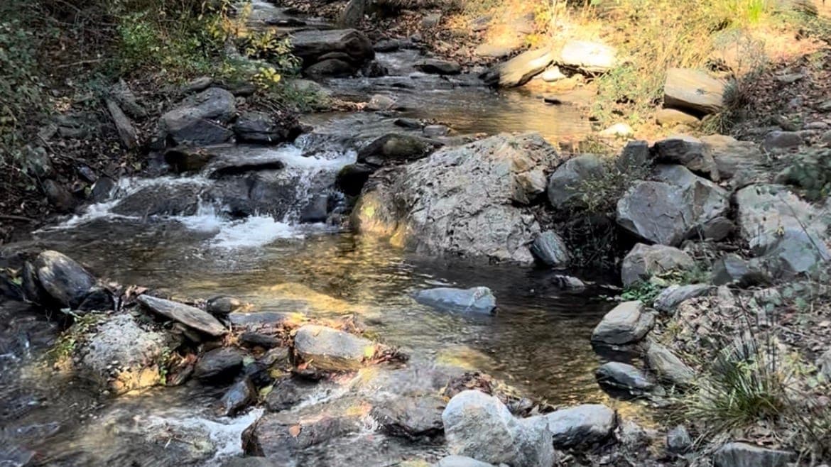
Alpujarra · Laujar de Andarax
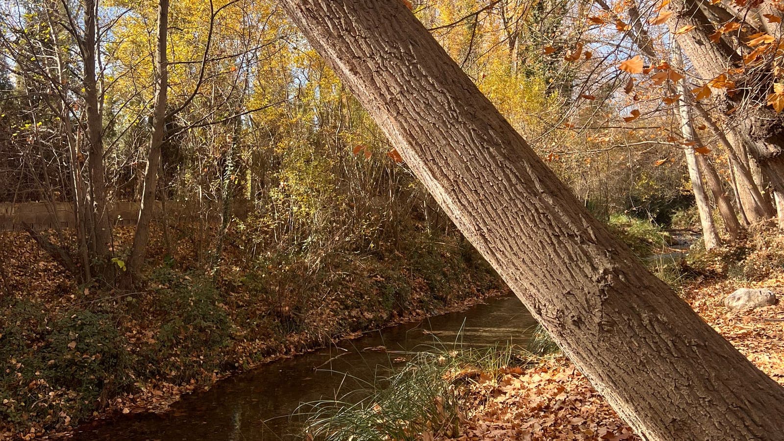
Alpujarra · Fondón
Old page: check the recent comments before you go.
Alpujarra · Canjáyar
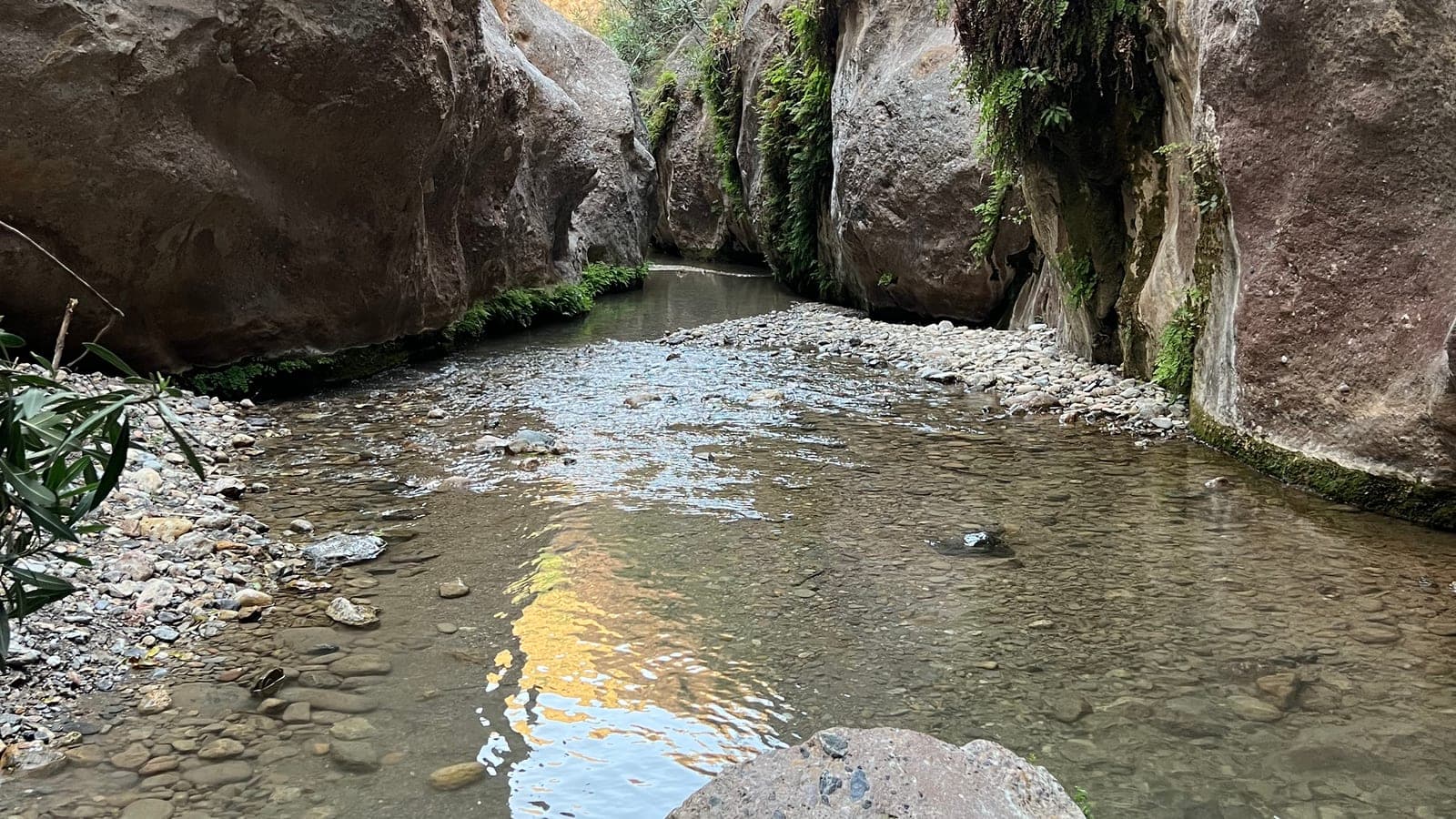
Alpujarra · Padules
Sierra de Gádor · Alhama de Almería
Sierra de Gádor · Enix
Sierra Nevada · Paterna del Río
Sierra Nevada · Ohanes
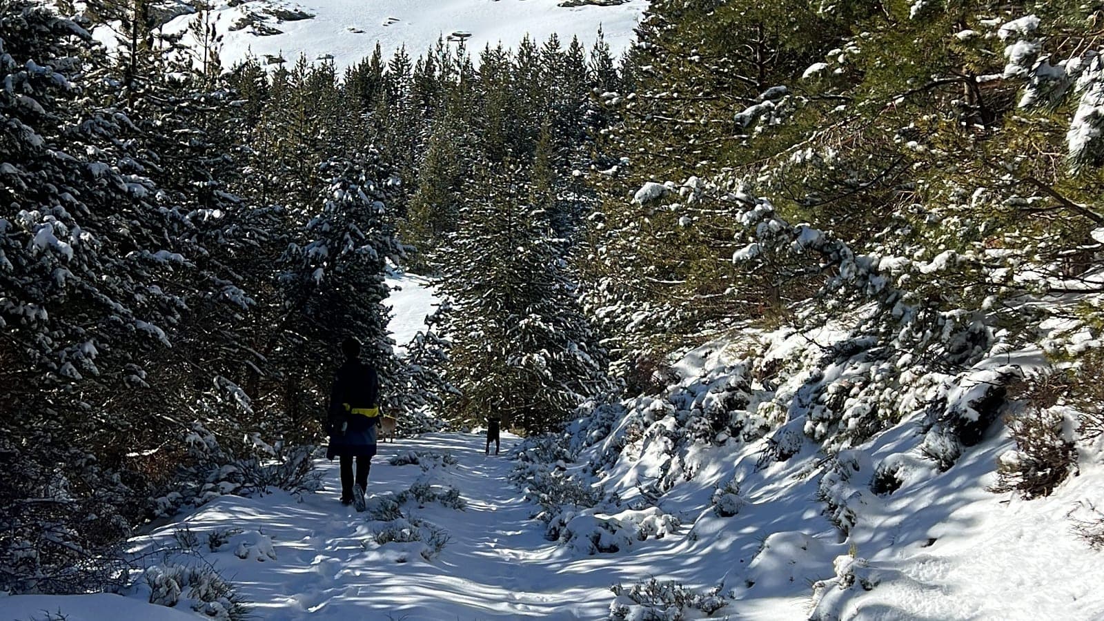
Sierra Nevada · Puerto de la Ragua
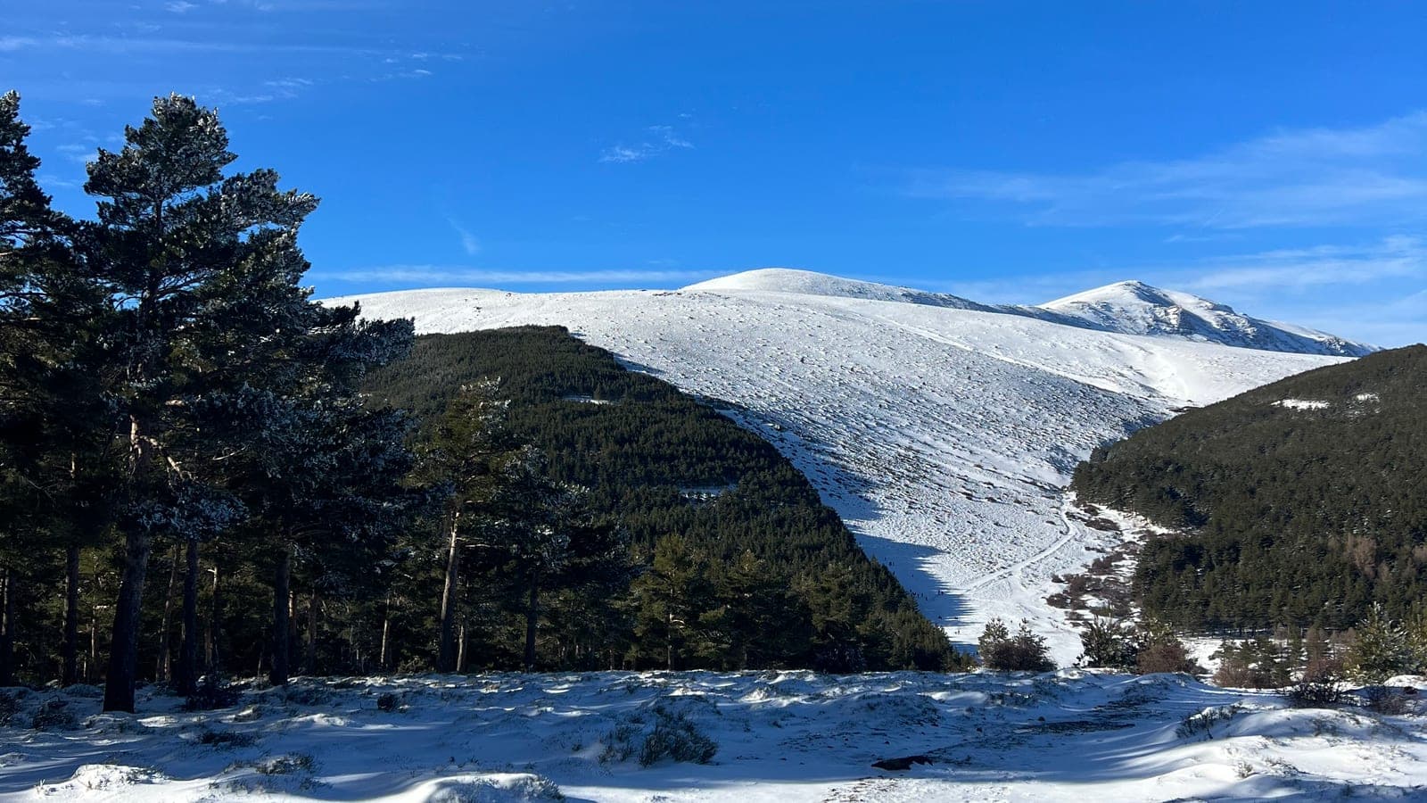
Sierra Nevada · Puerto de la Ragua
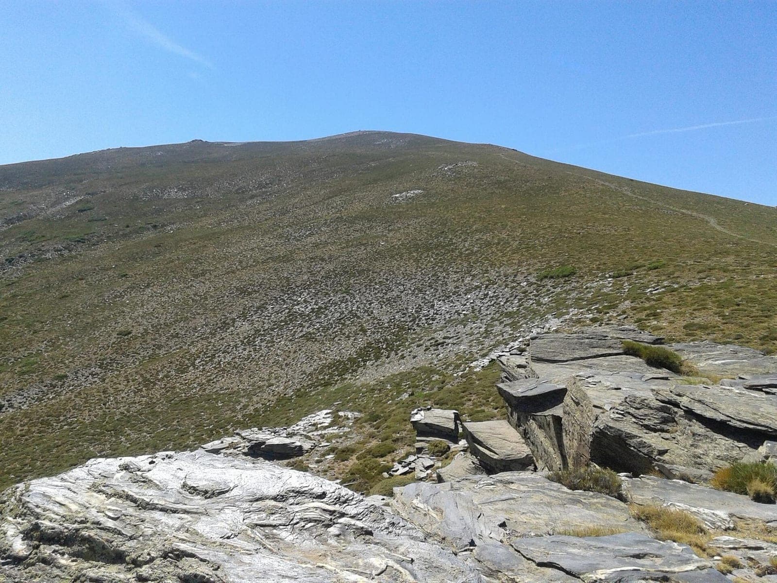
Sierra Nevada · Puerto de la Ragua
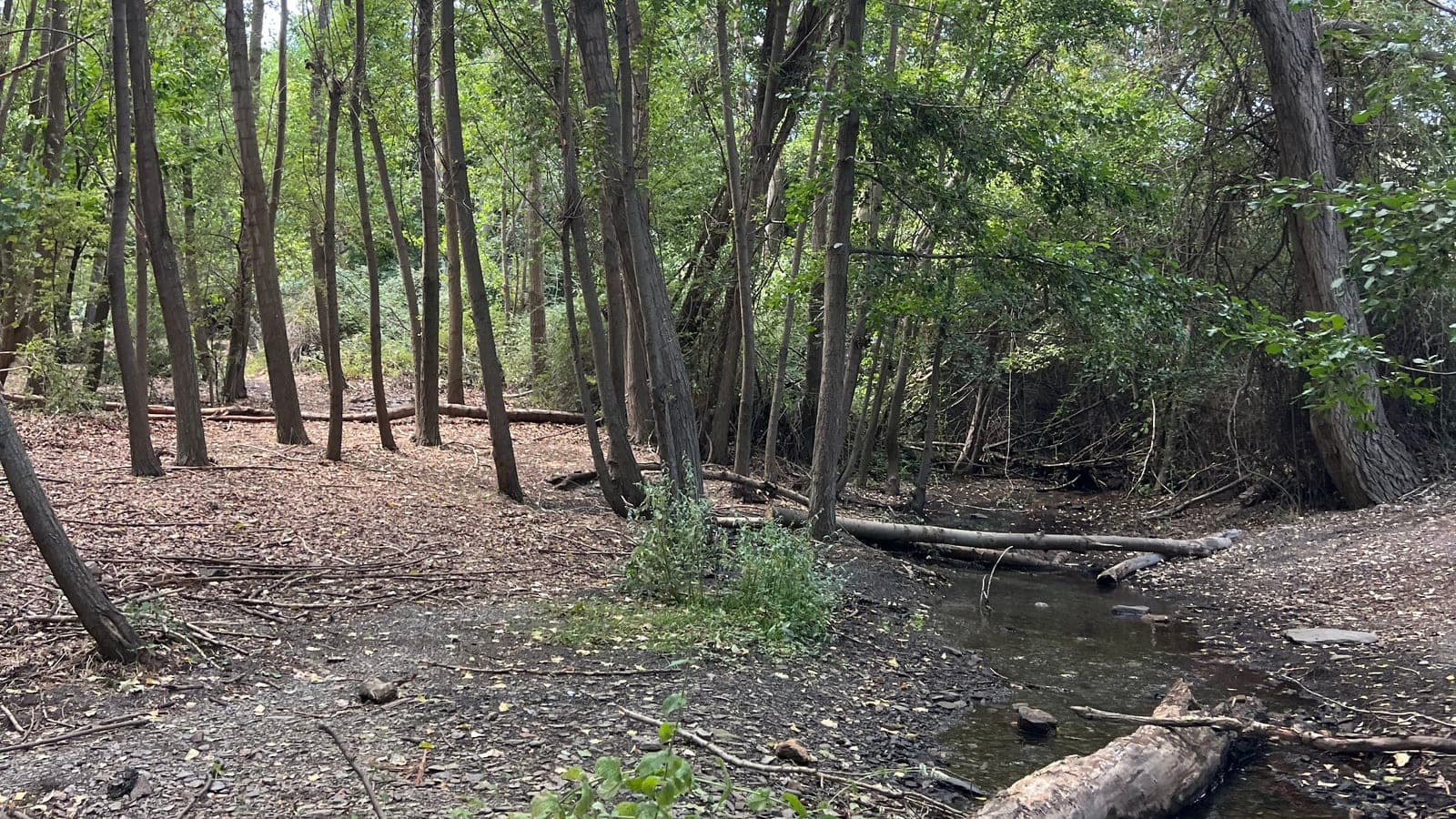
Sierra Nevada · Aldeire (Granada)
Sierra Nevada · Abrucena
Sierra Nevada · Abrucena
Old page: check the recent comments before you go.
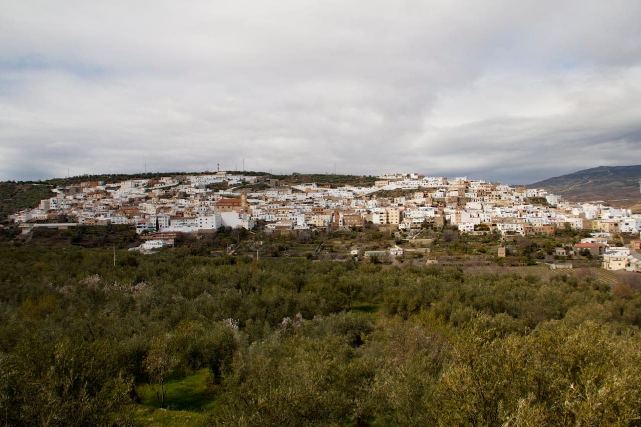
Sierra Nevada · Abla
Sierra Nevada · Fiñana
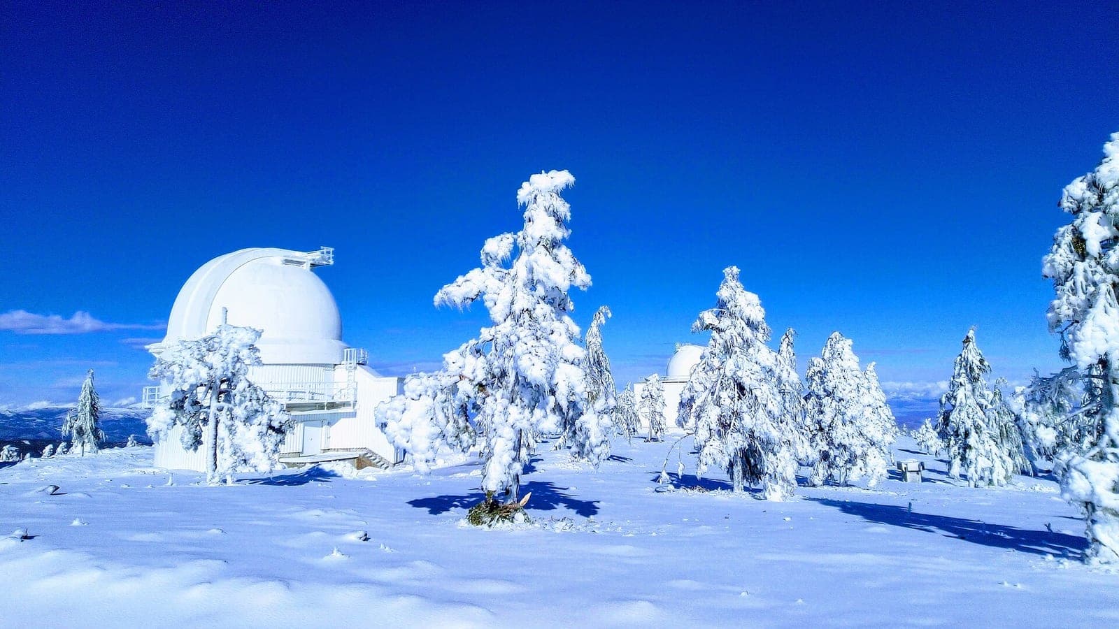
Filabres · Calar Alto
Filabres · Bacares
Filabres · Tahal
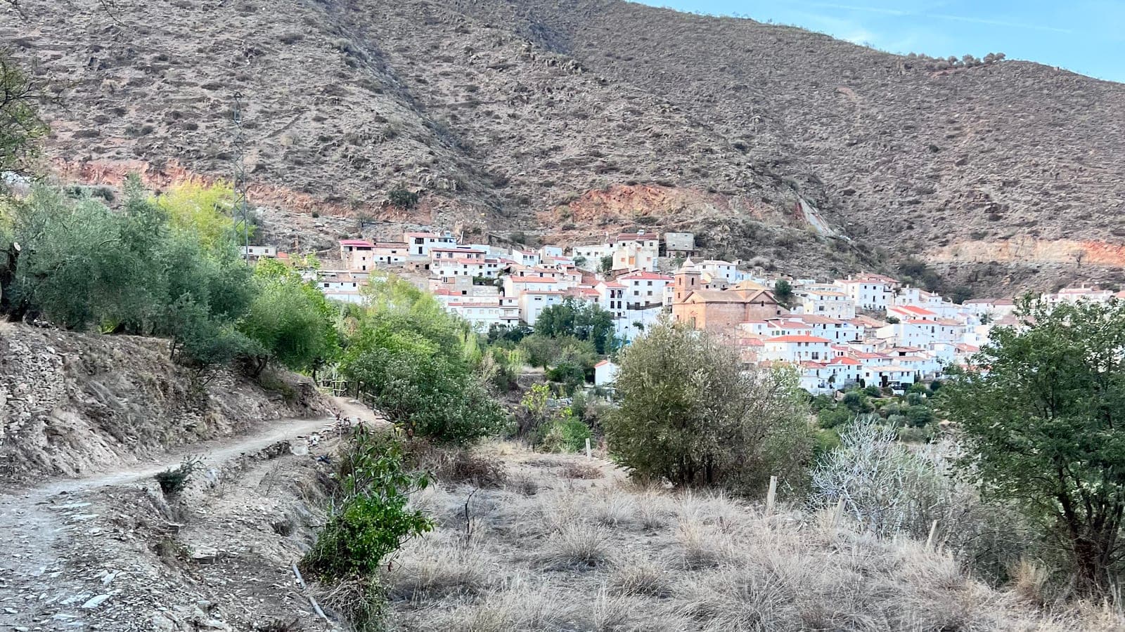
Filabres · Laroya
Almanzora · Serón
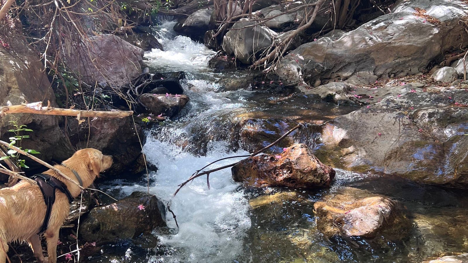
Almanzora · Tíjola
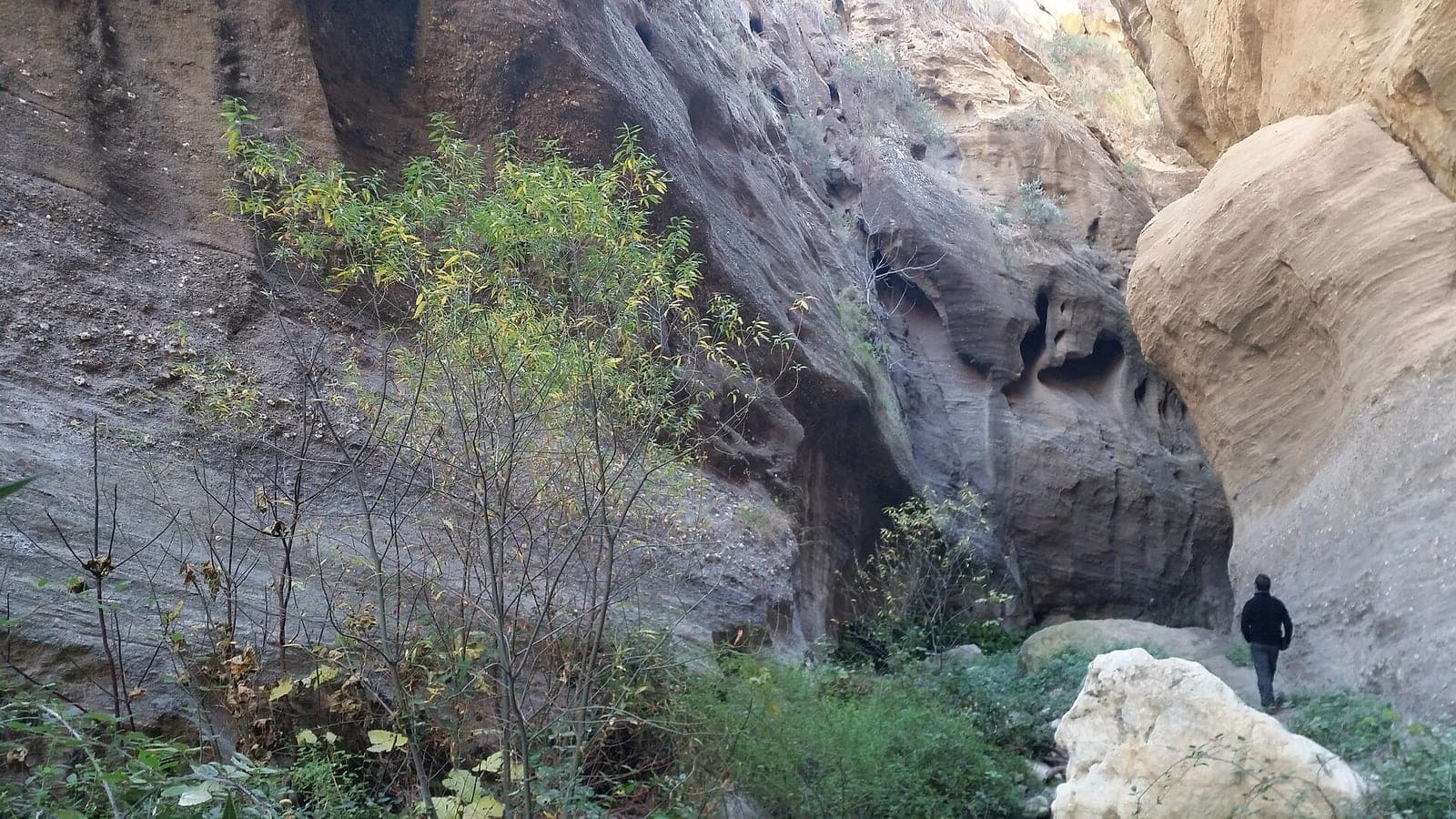
Almanzora · Urrácal
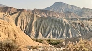
Tabernas Desert
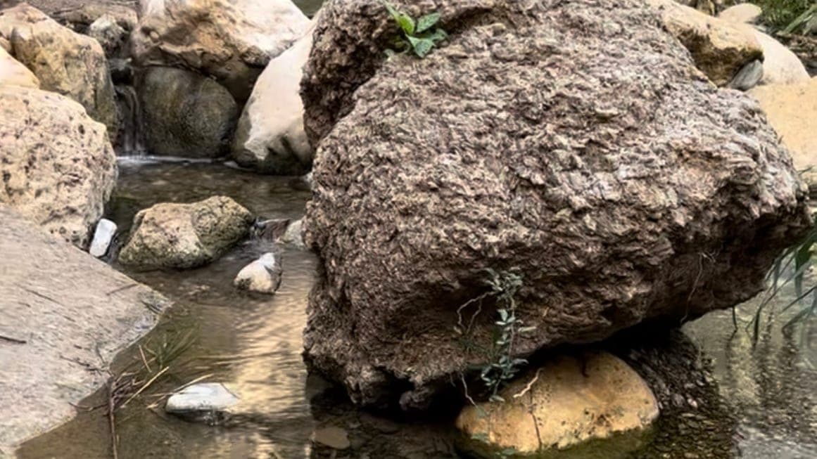
Sorbas
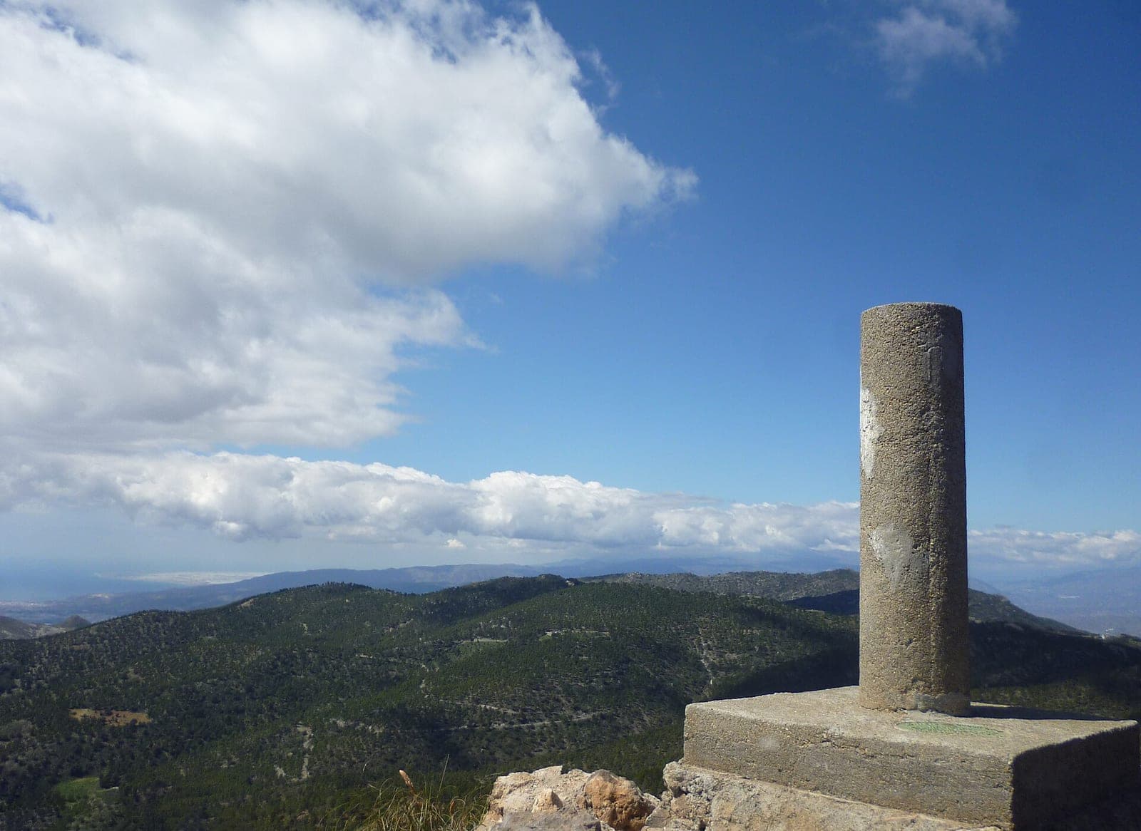
Sierra Alhamilla
Old page: check the recent comments before you go.
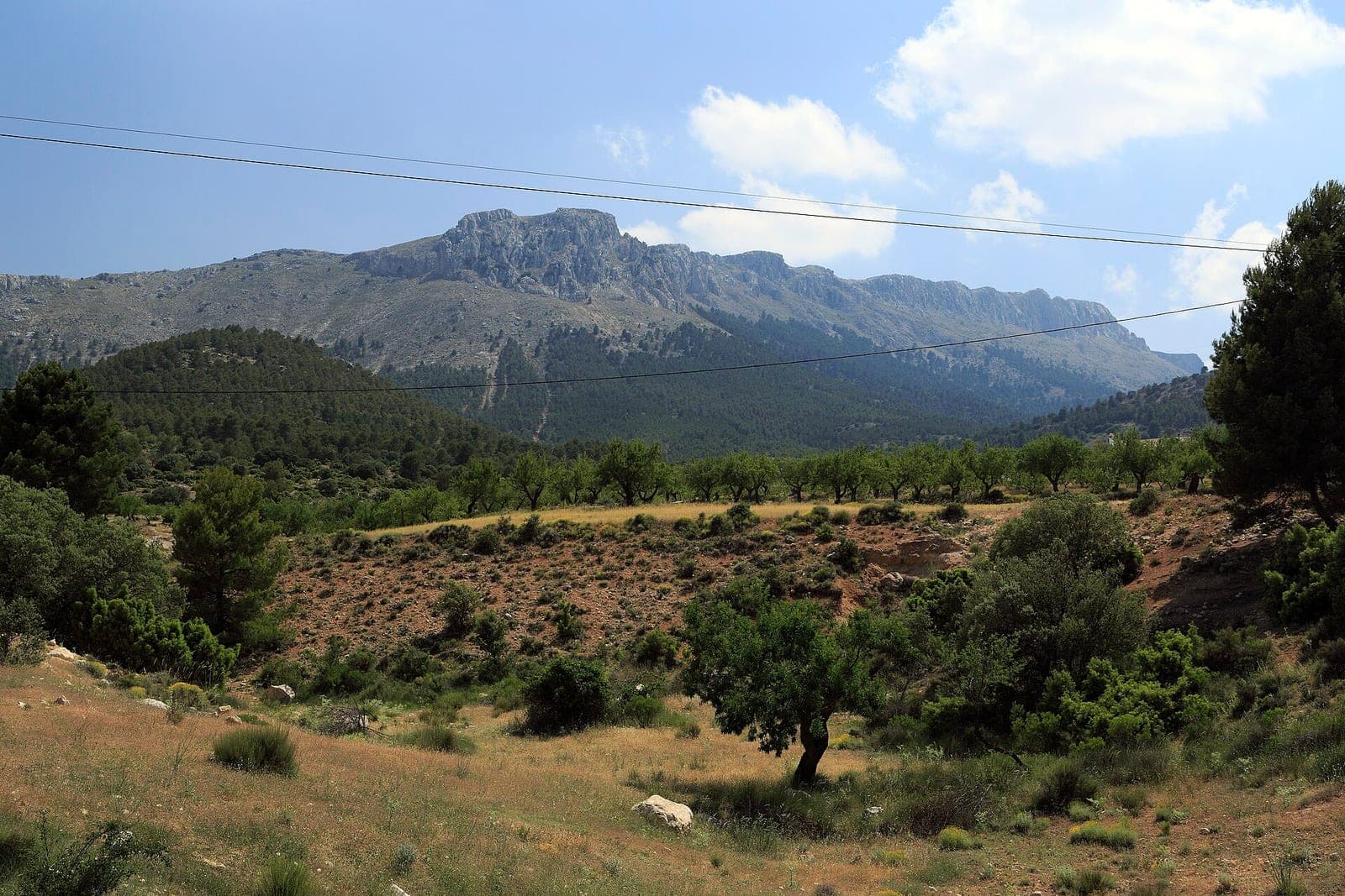
Los Vélez · María
Distance, elevation gain, difficulty, surface and fountains come from each walk's Wikiloc page. We only link to it: the track, map and photos belong to their authors. Wikiloc